
Frazer Town, Bengaluru, was designed in response to a plague epidemic. Around the turn of the twentieth century, bubonic plague spread through the crowded parts of the old Cantonment, and the British administration decided to build a new, less congested suburb. The result was a locality planned to keep rats out.
More than a hundred years later, the area goes by an official Kannada name that few people use, is known citywide for its food, and is about to get a metro station. It also has a railway station that most Bengalureans forget exists. Here’s how the area is laid out, how it connects to the rest of Bengaluru, and what surrounds it.
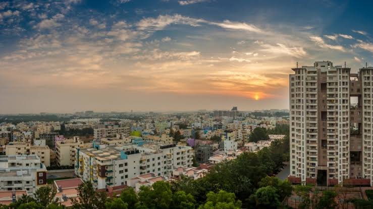
Frazer Town in Brief
| Detail | Information |
| Official name | Pulakeshi Nagara (renamed 1988) |
| Earlier name | Mootocherry |
| Established | 1906 |
| Named after | Stuart Mitford Fraser, tutor to Maharaja Krishna Raja Wadiyar IV |
| Area | About 4 sq km |
| Civic body | Bengaluru Central City Corporation |
| PIN code | 560005 |
| Assembly seat | Pulakeshinagar |
| Nearest railway | Bengaluru East (on Pottery Road) |
| Metro | Pottery Town and Cantonment stations, under construction |
You’ll see the name spelled both “Fraser” and “Frazer.” Wikipedia and many older records use the “s” spelling, while road signs, restaurants and Google Maps mostly use “z.” Both refer to the same place.
Built to Keep the Rats Out
Before it had its British name, the area was called Mootocherry. It was mostly ragi fields and grape gardens, and its village deity was Mootomariamma.
Things changed after plague hit Knoxpete, now called Murphy Town, and other crowded parts of the Cantonment. J. H. Stephens, the municipal engineer for the Civil and Military Station until 1912, wrote a book called Plague-proof Town Planning explaining how the new suburb was designed. The main ideas were simple: wide streets to let air move freely, and bungalows raised on tall stone plinths with smooth floors so rats couldn’t burrow in.
The foundation stone was laid in August 1910 by Mrs F. J. Richards, and a commemorative plaque still stands at the corner of Coles Road and Mosque Road. Most people walk past it without noticing.
The raised plinths are easy to spot once you know what to look for. On the older bungalows that survive, you climb several steps just to reach the veranda.
Streets Worth Knowing
The Cantonment grid is easier to navigate if you know the main roads by name. The important ones are Mosque Road, Coles Road, Robertson Road, Stephens Road, MM Road, Promenade Road, Spencer Road, Netaji Road, Haines Road and Wheeler Road.
Mosque Road and MM Road are for food. Coles Road is lined with older shops and furniture showrooms, and Wheeler Road runs towards Cox Town. When a cab driver asks for a landmark, name one of these roads rather than a building.
Getting Around Frazer Town, Bengaluru
The Station You’ve Probably Forgotten
Bengaluru East railway station is on Pottery Road, inside Frazer Town. It opened in 1906, the same year the suburb was established.
It was temporarily closed during 2025–26 as part of the Cantonment–Whitefield quadrupling project, and passenger services resumed on 25 May 2026. Trains stop here on the Chennai and Kolar Gold Fields routes. It’s useful for travelling towards KR Puram and Whitefield without first going to Cantonment or City station.
Cantonment Station, Next Door
Bengaluru Cantonment station is on the south-western edge of the area and is Karnataka’s oldest railway station. It is being redeveloped at a cost of ₹480 crore, with four new platforms and airport-style facilities. The project was first targeted for October 2025, and SWR officials were still pushing for its completion in late 2025. We couldn’t confirm whether it has been finished, so expect some construction disruption around the station.
The Metro Is Almost Here
Frazer Town has never had metro access. That will change when the underground section of the Pink Line opens.
Two stations are relevant to the area. Pottery Town station will serve Bengaluru East and Banaswadi railway stations as well as Frazer Town, Cox Town, Williams Town and Richards Town. Cantonment station will be near Coles Park, St Mary’s Basilica and Shivajinagar. The metro station is about 500–800 metres from the existing railway station.
There are two different estimates for the opening date. Individual station pages show December 2026 for the underground Dairy Circle–Nagawara section, while the Pink Line’s overview page shows around March 2027. The line has missed several earlier deadlines, so plan around the later date.
When the section opens, the Pink Line will connect with the Purple Line at MG Road and the Yellow Line at Jayadeva Hospital. That will make it much easier to reach Bannerghatta Road and JP Nagar from Frazer Town.
Buses and Autos
For now, BMTC buses and autos are the main ways around. Frazer Town is central enough that most trips to MG Road, Shivajinagar or Indiranagar are short by auto, though traffic at junctions such as Cantonment and Coles Road can add significant time.
The Neighbourhoods Around It
Frazer Town is surrounded by other former Cantonment localities. Pulakeshi Nagara, Sarvagnanagara (Cox Town), Pottery Town, Richards Town and Kadamba Nagara were all part of the pre-independence Civil and Military Station. They look different from the old Pete area and from south and west Bengaluru, which were part of the Mysore State.
Richards Town and Cooke Town
Richards Town is named after F. J. Richards, who headed the Civil and Military Station Municipality from 1908 to 1912. Nearby Cooke Town is named after G. H. Cooke, who led the same municipality from 1928 to 1934. Both are quieter and more residential than Frazer Town.
Cox Town
Cox Town is officially called Sarvagnanagara and borders Frazer Town to the east. It is mainly residential, with local bakeries and old churches.
Pottery Town
Pottery Town is to the north and is still associated with the potters who gave it its name. It will be one of the first areas to benefit from the new metro station.
Shivajinagar
Shivajinagar is to the south-west and is busier and more commercial, with markets, bus stops and the Russell Market area. From Frazer Town, it’s close enough to walk, though the traffic can make it slow.
Mosque Road Food: What Has Changed
For years, Frazer Town’s reputation was built on its Ramzan food fair, when kebab, haleem and biryani stalls lined Mosque Road and MM Road after sunset. By 2023 it had grown to around 250 stalls, with heavy crowds and garbage problems.
Residents objected. The Frazer Town Residents’ Welfare Association and other local groups asked for a ban, and the authorities stopped outdoor stalls from 2024 onwards. In 2025 the ban continued, only restaurants in the neighbourhood were allowed to set up counters, and some regular stall owners moved to Koramangala and Kammanahalli.
We couldn’t confirm the rules for Ramzan 2026. However, the restaurants remain on Mosque Road and MM Road all year and still serve food well beyond iftar season. For the full experience, visit during Ramzan. For a comfortable meal without the crowds, go any other month.
FAQs
Q1. Is Frazer Town the same as Pulakeshi Nagar?
A. Yes. The area was officially renamed Pulakeshi Nagara in 1988 after the Chalukya king Pulakeshin II. Most residents, businesses and cab drivers still call it Frazer Town.
Q2. Which metro station will serve Frazer Town?
Pottery Town and Cantonment stations on the Pink Line’s underground section will serve the area. Opening estimates range from December 2026 to March 2027, and neither station is operational yet.